Community Corner
Gloomy Skies Give Way to Sunny, Chilly Weekend
Forecasters are calling for rain to clear out as the long Presidents Day weekend approaches.

Grab those umbrellas if you’re heading out in the Sarasota area today, Feb. 14.
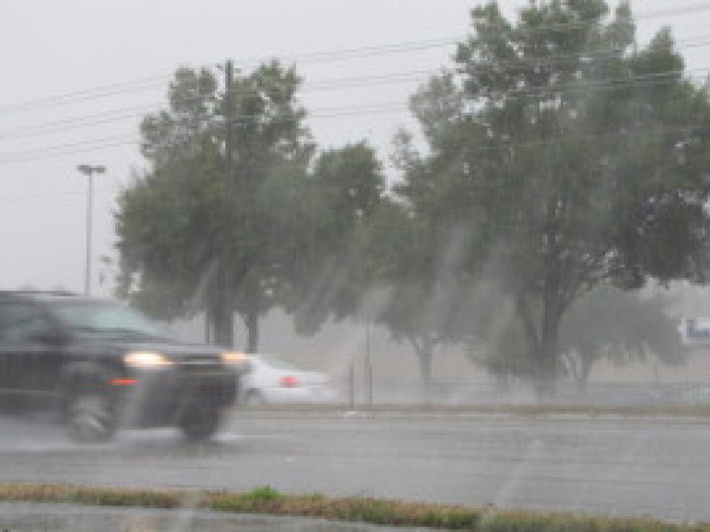
The National Weather Service’s Ruskin office says the cold front that pushed through the area yesterday, causing some heavy rains and gusty winds, is likely to create more storms on Thursday and possibly again on Friday.
Meteorologist Robert Garcia says area residents can expect fairly gloomy skies on Thursday with rain chances up in the 80 percent range. Severe weather, however, isn’t anticipated but an occasional thunderstorm might make an appearance.
Find out what's happening in Sarasotawith free, real-time updates from Patch.
Aside from light sprinkles to pockets of heavy rain and some gusty winds, “(it’s going to be) just a gloomy looking day,” Garcia says.
Rain chances diminish on Friday, but sprinkles are still possible.
Find out what's happening in Sarasotawith free, real-time updates from Patch.
Overnight Friday, things start to clear out, and Garcia says there’s a nice weekend in store for Sarasota.
Let Patch save you time. Get great local stories like this delivered right to your inbox or smartphone everyday with our free newsletter. Simple, fast sign-up here.
Highs around the mid-60s are expected through much of the weekend. A cooling trend is anticipated on Saturday and Sunday before things heat up on Monday.
Lows in the overnight hours Saturday dip down to the mid 40s with a high on Sunday only expected to reach about 60 degrees. Sunday night is expected to be even chillier.
For a complete look at the Sarasota area’s forecast, visit the National Weather Service online.
Get more local news delivered straight to your inbox. Sign up for free Patch newsletters and alerts.